Local glacier survey
Oct 29, 2015
The weather was fantastic today, so we took the opportunity to do a second survey flight in the late afternoon.
With just one hour turn around following our return from Jason Peninsula, the plane was refuelled and we were ready to go.
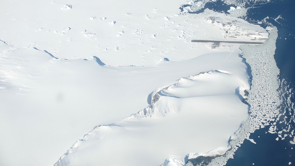
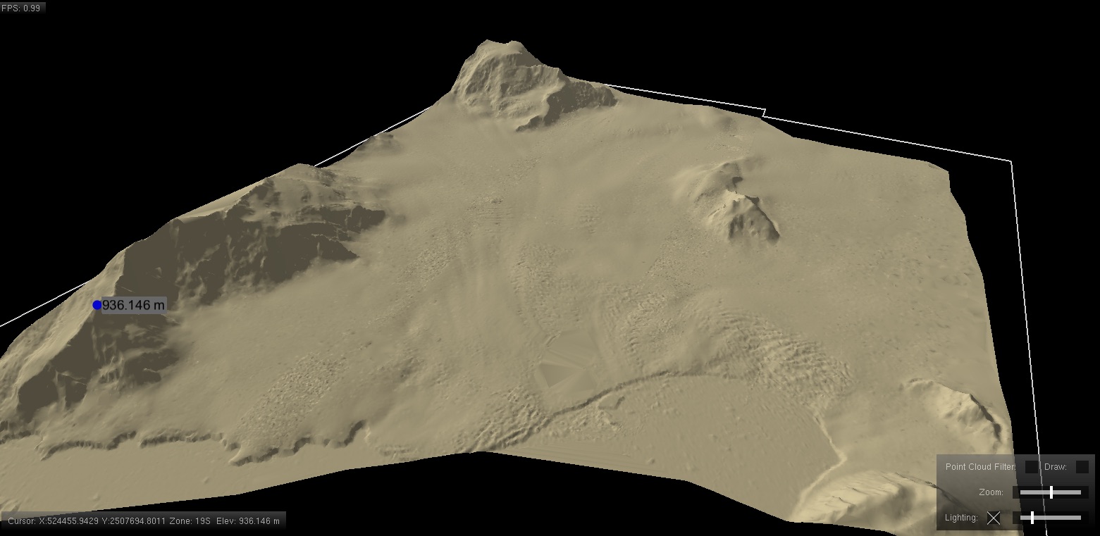
This time we wouldn’t be heading off quite so far. We were due to complete some local surveys of some of the glaciers around Rothera Point, which are monitored for change. The survey camera takes photos with an overlap, allowing 3D measurements to be taken from the imagery. This allows 3D models of the glaciers to be constructed which can be compared to measurements in the historical time series.
Before returning to Rothera, we flew some survey lines over Rothera Point for the purpose of providing up to date imagery and mapping of the station.